3D Reconstruction
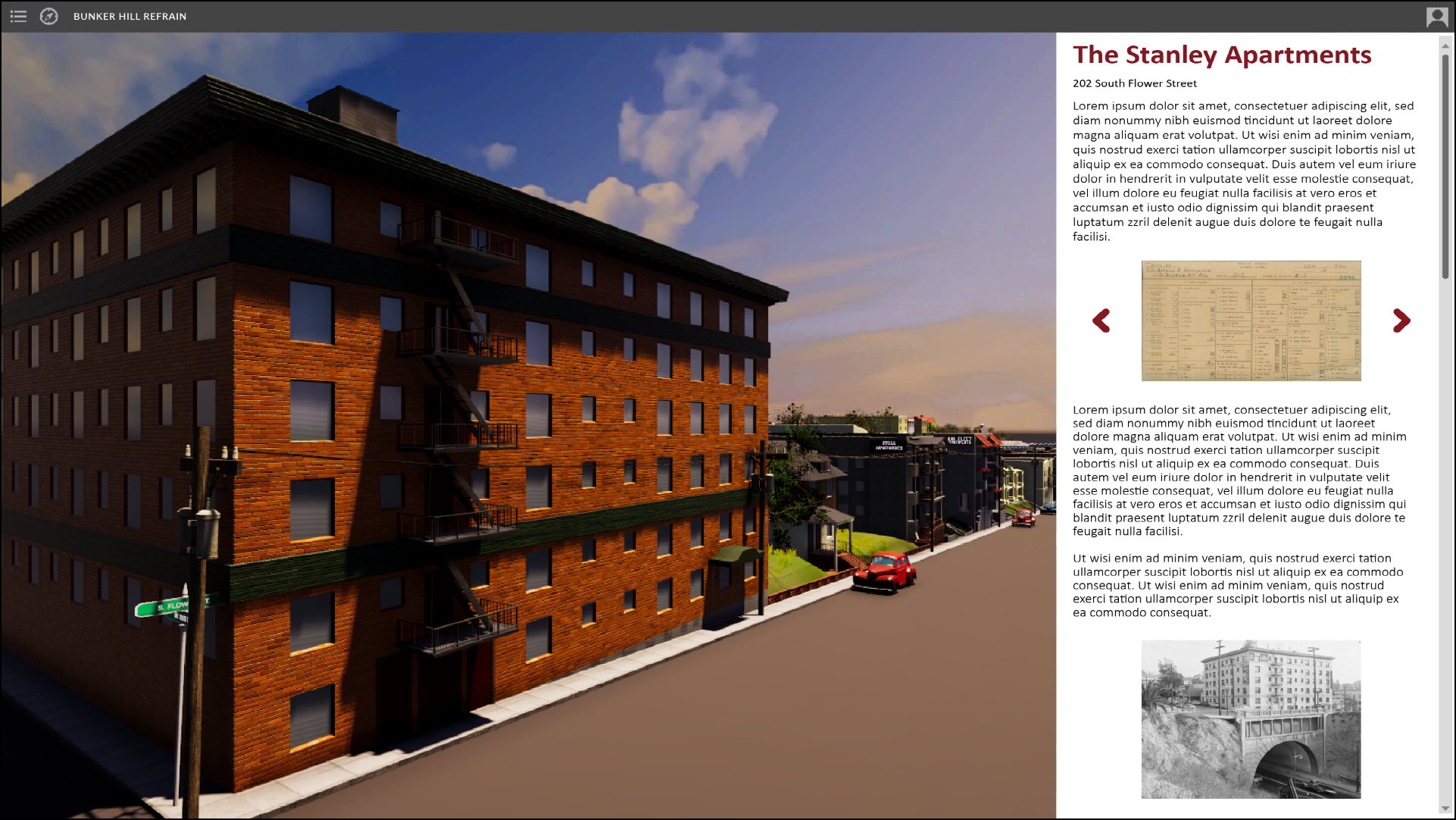
Led by efforts at the Ahmanson Lab, our team is developing a web-based interactive experience of historic Bunker Hill that will allow users to immerse themselves in the lost neighborhood and access stories and information about people and places via archival sources and oral histories.
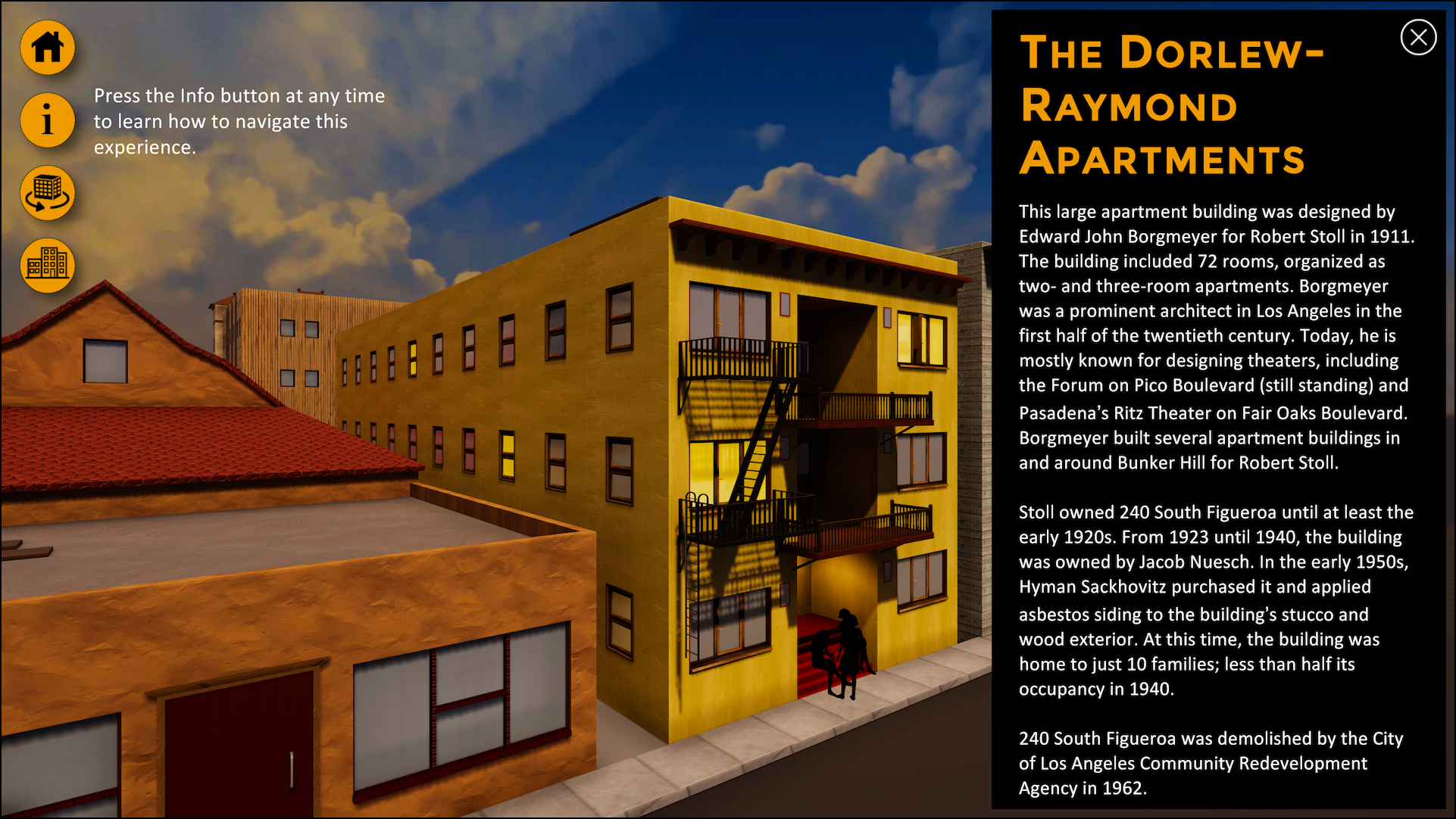
Our 3D reconstruction is based on historical photographs from the period accessed primarily from the USC Libraries Special Collections, Huntington Library, Los Angeles Public Library, and the Getty; architectural drawings produced in 1939 by WPA artists and held at the Los Angeles City Archives; Sanborn maps from the Library of Congress; and aerial photography from 1941, housed at UC Santa Barbara’s Aerial Photography Collection.
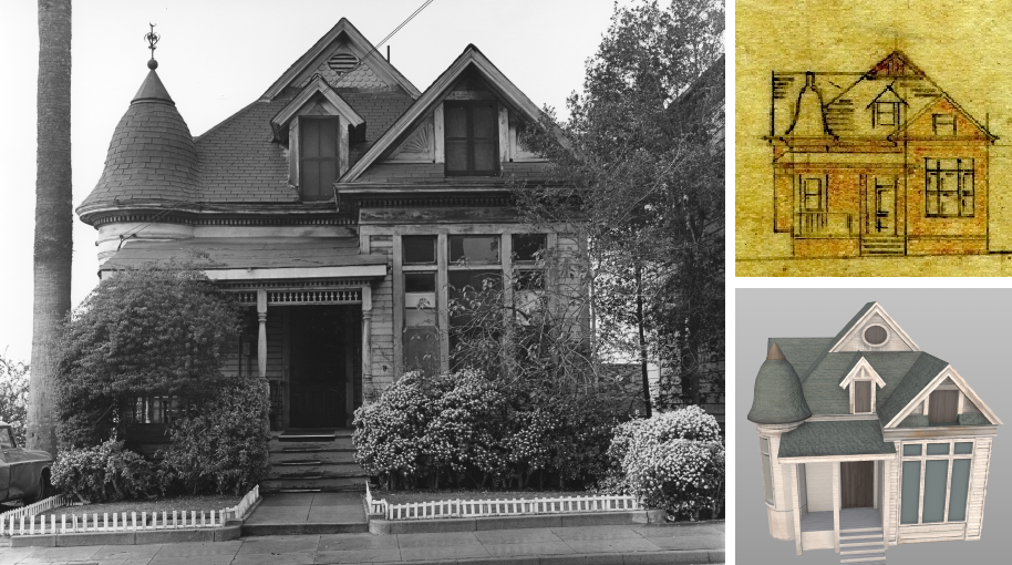
Historical photograph, WPA architectural drawing, and our 3D model of 256 South Bunker Hill.
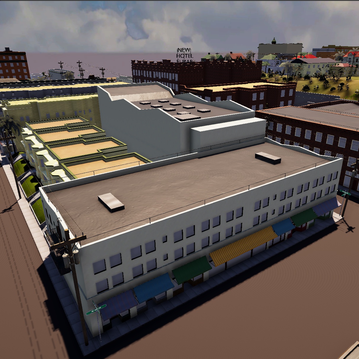
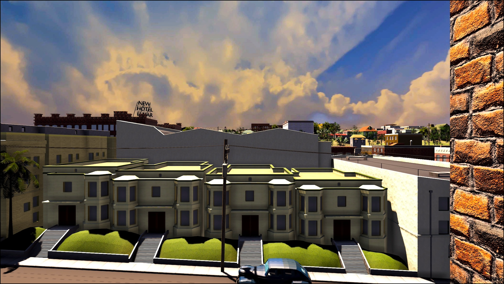
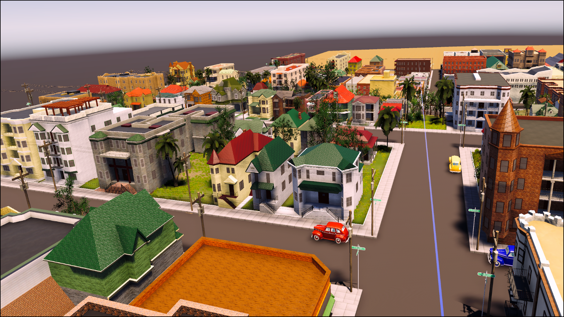
To date, our 3D model covers sixteen contiguous blocks (one square mile) of the neighborhood and has been used in several of our Bunker Hill interactive experience
Bunker Hill
VR