Primary Sources

Los Angeles Housing Authority Survey
Los Angeles established the Housing Authority (LAHA) in 1938. One LAHA’s first tasks was to conduct a city-wide household survey. Described as the “most comprehensive ever undertaken in California,” the survey covered approximately 29 square miles bounded by Hoover Boulevard on the west, Fountain Avenue on the north, Indiana Street on the east, and Jefferson Boulevard on the south. Using funds from the Works Progress Administration, field workers evaluated more than 234,000 units, home to roughly 677,000 individuals. The survey recorded a wealth of information about Los Angeles’ built environment, including details about individual building addresses, ages, and types of structures. More significantly, the survey documented the city’s social makeup. It described the occupants of various dwelling units in detail, including their ownership status, length of residence, rent, race or ethnicity, and number of individuals residing together.
City of Los Angeles
Model and
Architectural Plans
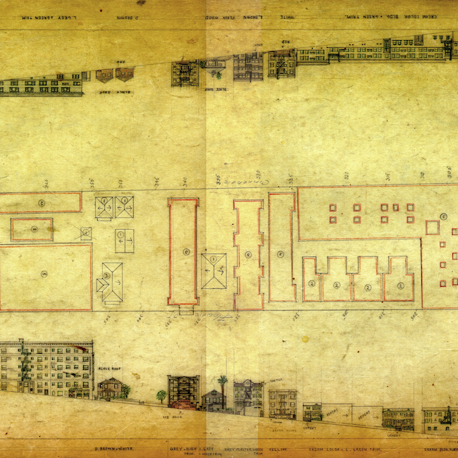
At the same time the LAHA Survey was underway, the Los Angeles Bureau of Engineering used WPA funds to build a scale model of the city’s downtown. The model covers a geography similar to the survey, extending from the Chinatown neighborhood on the north to Boyle Avenue on the east, Adams Boulevard on the south, and Alvarado Boulevard on the west. The model is currently on display at the Los Angeles County Natural History Museum, and the sketches used by the WPA to create the model have been archived by the City of Los Angeles.
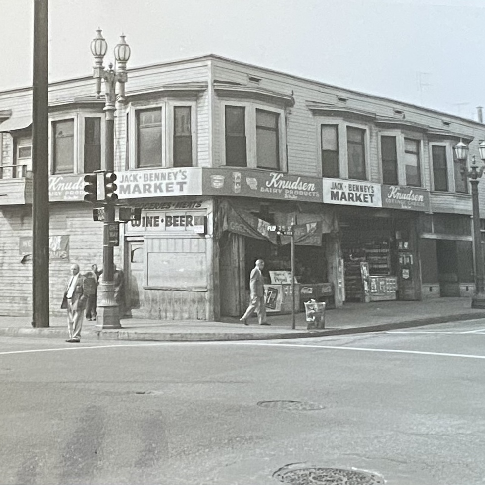
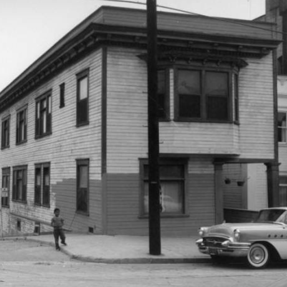
Bunker Hill Redevelopment Project Records
The Community Redevelopment Agency of the City of Los Angeles (CRA), established in 1948, was intended to revitalize areas of the city described as economically depressed. The CRA was enabled by the California Community Redevelopment Law and Federal Housing Acts of 1946 and 1949. The Bunker Hill Redevelopment Project was launched in 1955. After four years of planning, the redevelopment plan for Bunker Hill was adopted in 1959. The agency’s photographs document the neighborhood’s built environment before demolition and have served as important resources for the team’s efforts to construct a digital model.
Other Primary Sources
The following collections have served as important records of Bunker Hill’s built and social landscape:
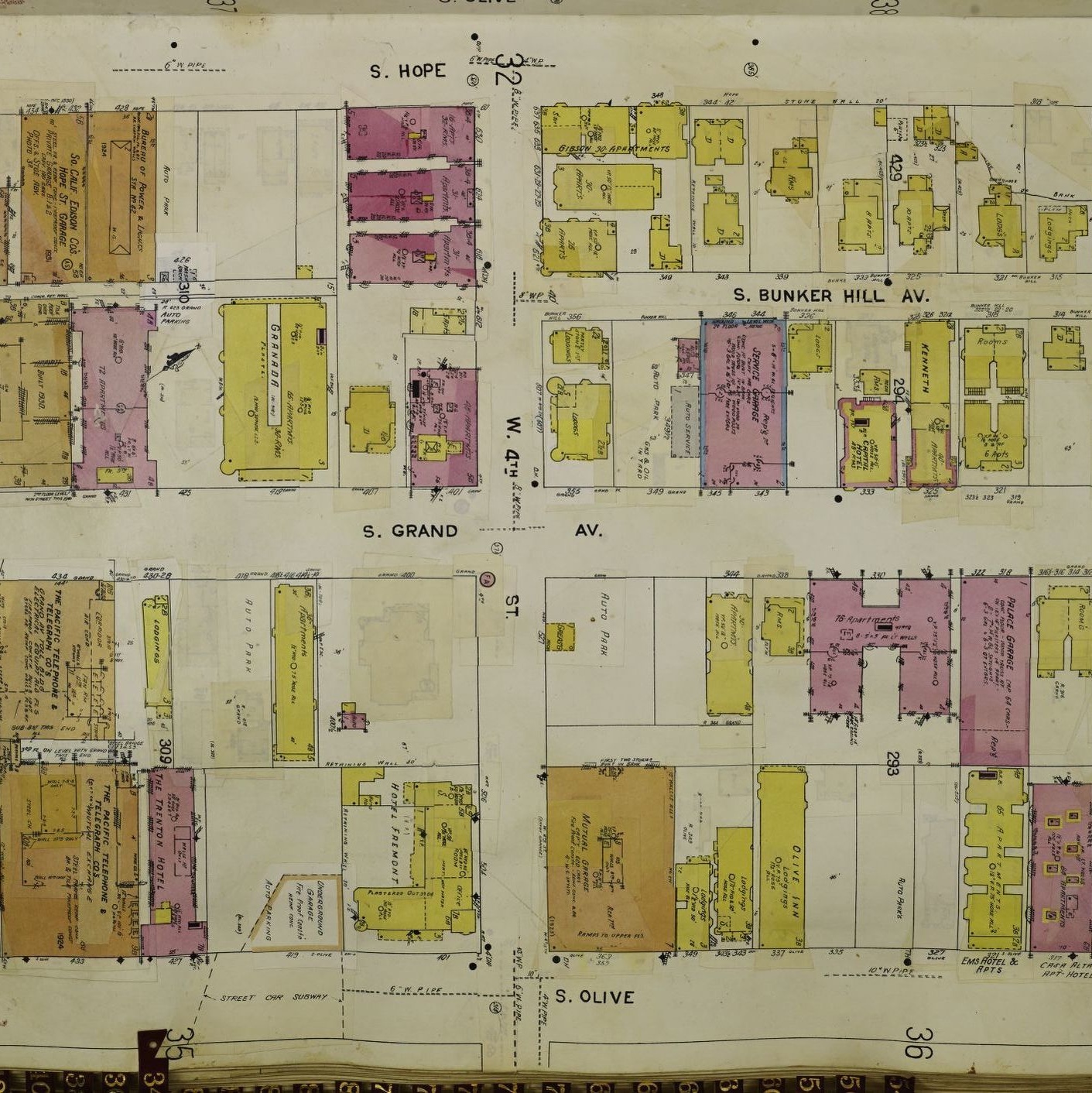
Sanborn Fire Insurance Maps,
Library of Congress
Los Angeles Public Library Photo Collection
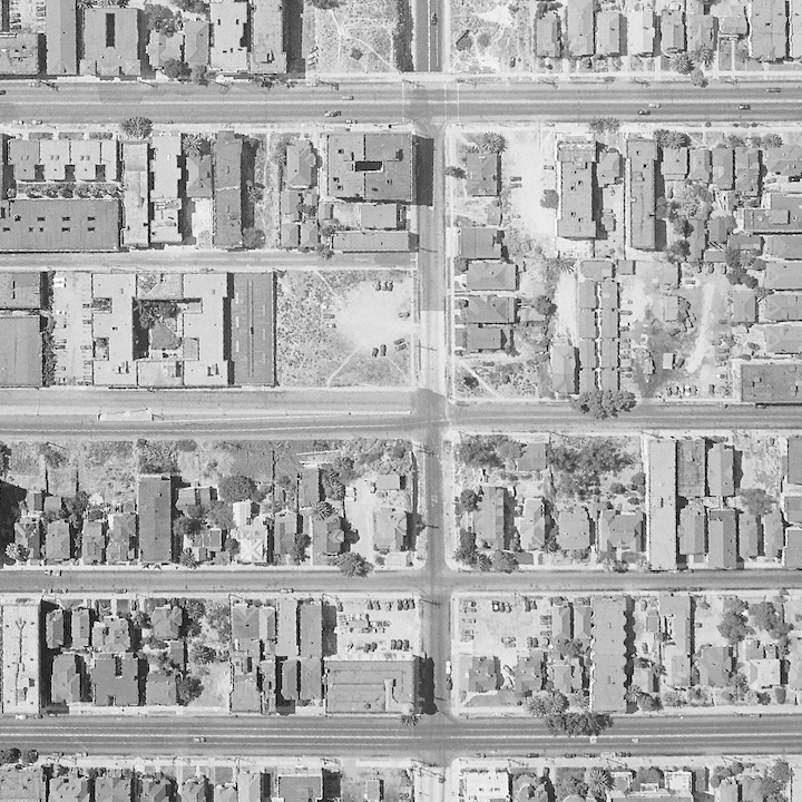
UC Santa Barbara, Library Aerial Photography Collection
